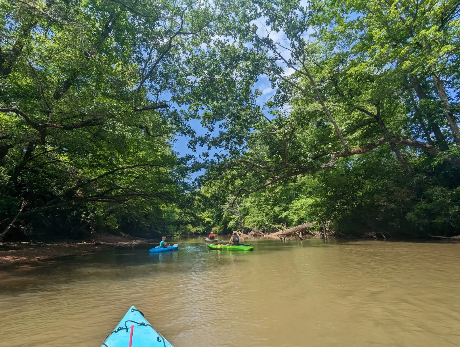
Find the county park’s public launch and official water-trail map. A downstream trip needs a separately confirmed take-out, shuttle and river conditions.
On the Tallapoosa · a little preparation, a day together.
Choose water that suits your group. These are sourced planning guides, not a report that a route is open or safe today.
Find public river access
Explore the launch information below, then confirm your full route before setting out.
Optional. Your location is not saved or sent to Moss & Sons.
1 public launch · no complete trip listed yet
Launch information only
Sprewell Bluff’s public launch is listed below. We haven’t confirmed a complete downstream trip here yet. Check your intended finish, access permission and ride back before launching.
Map searches identify named places; confirm the entrance and follow posted signs. Public access can still require a fee. Opening the map requests OpenStreetMap tiles.
1Sprewell Bluff Park · day-use boat ramp
Public county park boat ramp. Follow day-use signs; confirm your downstream take-out separately before launching.
Read the latest alerts, weather and river readings before leaving and again before launch. A gauge or release schedule does not check fallen trees, bank access or your group’s ability.
Upson County lists a day-use boat ramp at Sprewell Bluff Park. Its water-trail map marks downstream launches and hazards, including shoals, rapids and rebar. Match your route and experience to current conditions with the park or a local outfitter.
Highway 36 and the nearby outfitter ramp are separate map labels. Their current access, exact take-out arrangements and paired mileage have not been confirmed for this guide. Do not assume every marked landing is public or suitable for tubing.
Published sources checked October 27, 2026. Access details have not been confirmed by a site visit or telephone call. This is a selected directory, not every river access point in Georgia. Source review is separate from today’s opening status.
The map shows sourced access areas and park entrances, not a river navigation line. Driving links are named map searches. Approximate mileage comes from the linked park or county guide, not the straight-line map distance. No float duration or beginner suitability is inferred from mileage.
Public launches are separated from private outfitters and private camping. Fees, gate hours, seasonal rentals and river conditions can change. Unknown details remain identified in each listing.