HARALSON COUNTY · A BRIDGE IN THE ARCHIVE
A steel bridge, a maker’s plate, and an uncertain birthday.
The federal engineering archive preserves details of a Tallapoosa River crossing that a quick roadside glance could miss. Look at the whole structure, then its connections and maker’s plate.
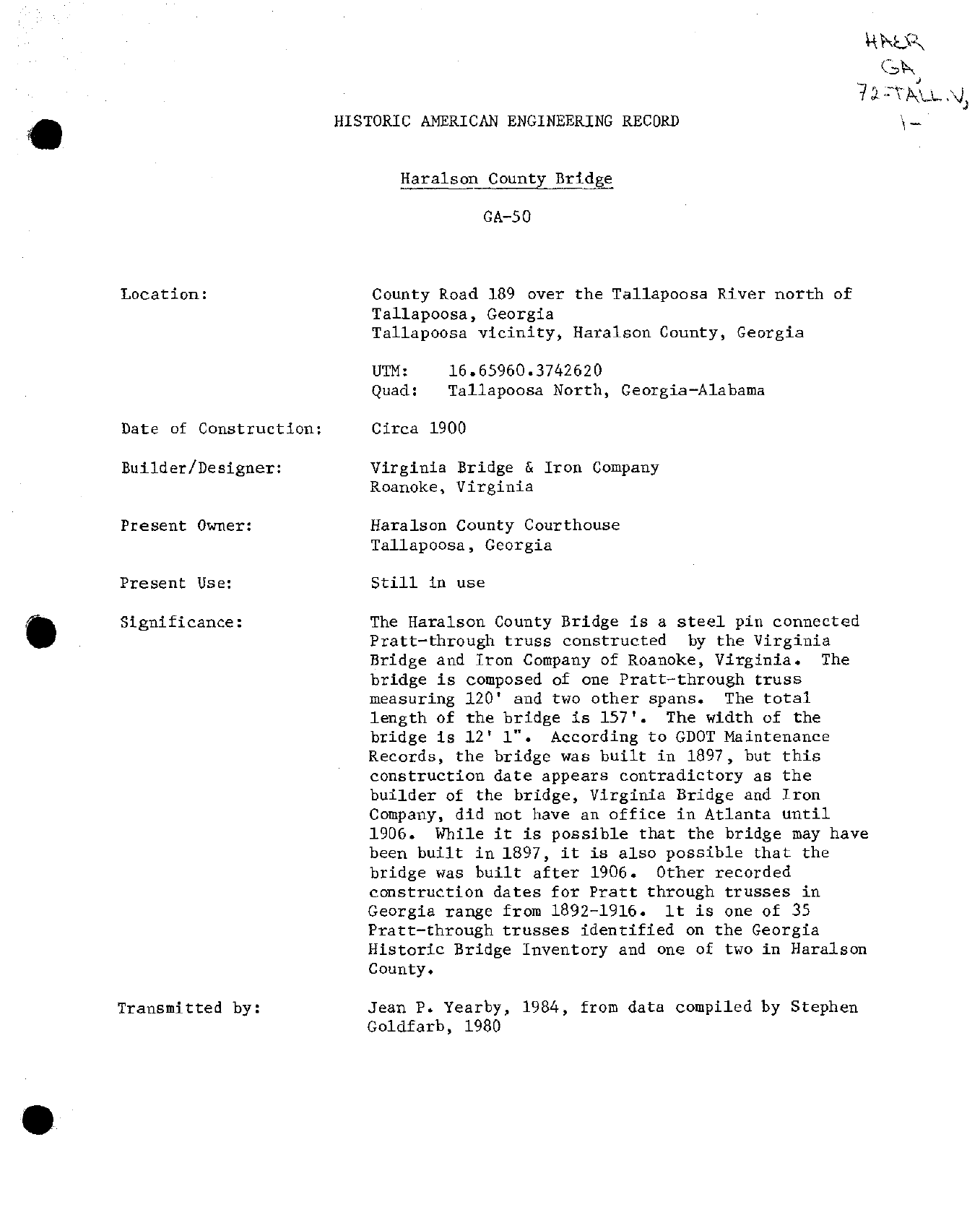
The Historic American Engineering Record documented a bridge on County Road 189 over the Tallapoosa River, north of Tallapoosa. Its identifier is HAER GA-50. The historical report describes a steel, pin-connected Pratt through-truss built by Virginia Bridge & Iron Company of Roanoke, Virginia. Its dimensions were recorded as 157 feet overall, including a 120-foot truss, and 12 feet 1 inch wide. [1]
This is a study of one documented bridge, not a complete county inventory. The record and photographs let us inspect historical evidence without implying that the structure or its access conditions are unchanged today.
LOOK CLOSER · APRIL 1982
Three views of one bridge
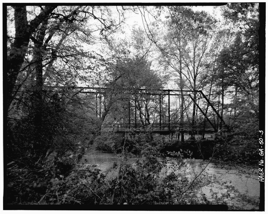
The whole truss
Start with the shape: the photograph shows the steel framework crossing the river between wooded banks. The HAER report identifies a 120-foot Pratt through-truss within a 157-foot bridge. This is a historical measurement, not a present inspection.
Open this photograph’s archive recordAll three captions and archive links
Original caption: “Side view from north.” Start with the shape: the photograph shows the steel framework crossing the river between wooded banks. The HAER report identifies a 120-foot Pratt through-truss within a 157-foot bridge. This is a historical measurement, not a present inspection. HAER GA-50-3
Original caption: “Detail of lower chord pin connection.” The photographer’s caption identifies a lower-chord pin connection. Studying a joint makes the report’s phrase “pin connected” tangible. The image does not establish the joint’s present condition or load capacity. HAER GA-50-6
Original caption: “Detail of bridge plate.” The maker’s plate names Virginia Bridge & Iron Co., Roanoke, Virginia, matching the builder identified in the report. No construction year is legible on this plate in the reproduced photograph. Maker identification and construction dating are different findings. HAER GA-50-9
Four dates that mean different things
- Circa 1900: the construction estimateThe report uses this approximate heading, then discusses competing possibilities. It does not establish a precise year.
- 1980: the compiled written dataStephen Goldfarb is credited with the underlying compilation.
- April 1982: the photographsThe original caption sheet names Sammy Fowler and this month for the nine-photo set. The explorer shows three.
- 1984: transmission of the reportJean P. Yearby transmitted the material. That is an archival date, not the bridge’s construction date.
These dates are drawn from the original report and caption sheet. [1] [2]
Why the construction year remains unresolved
The report says Georgia DOT maintenance records gave 1897. It questions that date because the builder’s Atlanta office reportedly opened in 1906, and leaves construction before or after that date possible. We have not independently retrieved the maintenance record or company office records. [1]
An office opening does not logically prove a company could not previously supply a bridge in the state. The archival report preserves a dating question; it does not settle it. The photograph of the plate supports the maker’s identity, but supplies no legible construction year in this reproduction.
Read the original two-page engineering record
“Still in use” belongs to the old record
The report’s present-use field reads “Still in use.” Its inventory also counts two Pratt through-trusses in Haralson County. Both statements belong to the historical documentation. Neither establishes today’s operating status or current number of surviving bridges. [1]
We have not verified a present public approach, current ownership, closure, replacement or structural condition. Accordingly, this feature provides no driving pin or invitation to enter the structure. A modern update would need the bridge’s current county or GDOT identity, recent inspection or replacement records, and a lawful site check.
What a family record could add
A dated road petition, construction invoice, county payment entry or photograph predating the archive could resolve more than another retelling of “about 1900.” A recollection could also help identify an older road name. We would keep a remembered name separate from a verified location match.
Sources and image credits
- Historic American Engineering Record, Haralson County Bridge, GA-50, historical and descriptive data. Stephen Goldfarb data, 1980; transmitted by Jean P. Yearby, 1984. Original scanned page visually checked. The scanned report says 1897; an online catalog transcription rendering 1987 should not replace it.
- HAER GA-50 original photograph index. Sammy Fowler, April 1982; nine captions. Featured items 3, 6 and 9 were downloaded and visually inspected.
- Library of Congress collection record. Images credited to HAER / National Park Service, held by the Prints and Photographs Division. About the federal documentation collection.