Tallapoosa River · West Georgia
A day on
the Dub.
A little adventure.
A whole lot of time together.
Bring the people you love. Get to know the Dub Denman Canoe Trail through our family’s river photographs, then make a plan for a day of your own.
Haralson County, Georgia · near Bremen & Tallapoosa
From our family to yours
This is our kind
of family time.
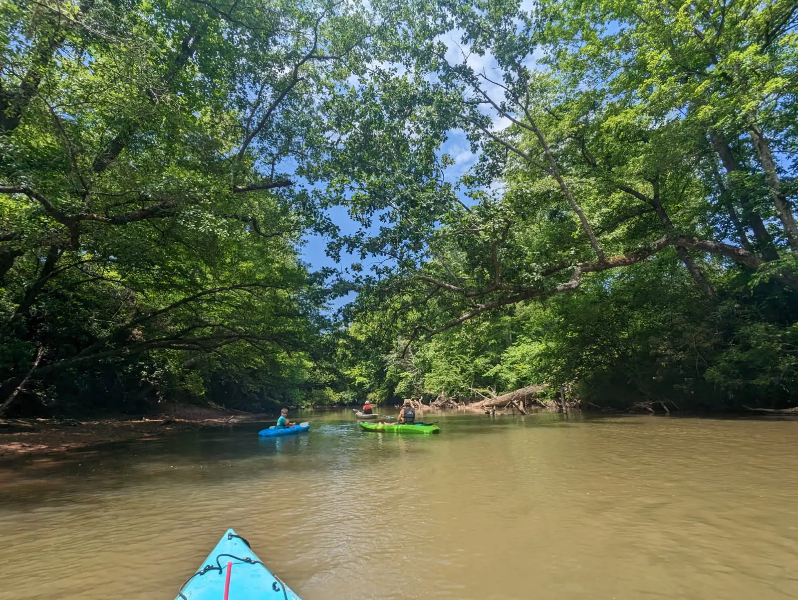
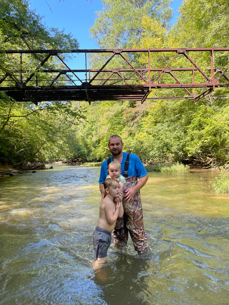
We’re the Moss family, near Bremen. Paddling, fishing and time around our old bridge are part of our life on the Tallapoosa. There’s something worth sharing in a day spent together outside.
These are our own photographs: earlier family outings, followed by visits to the Poplar Springs, Highway 100 and Broad Street landings. We’re putting the pictures and practical details together to help you get to know the river before you go.
Daniel & the Moss family
Our latest look at the landings
See the way down
before you load the boat.
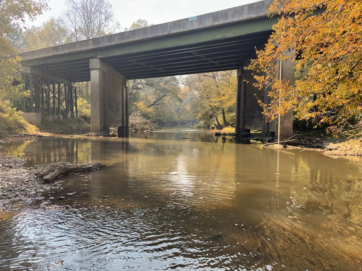
A river day starts on dry ground. We photographed the Poplar Springs entrance and steps, the Highway 100 landing and the Broad Street access, so you can recognize these places when you arrive.
Highway 100 and Broad Street photos supplied October 30; Poplar Springs supplied November 1, 2026. These visits and the earlier family photos show past conditions.
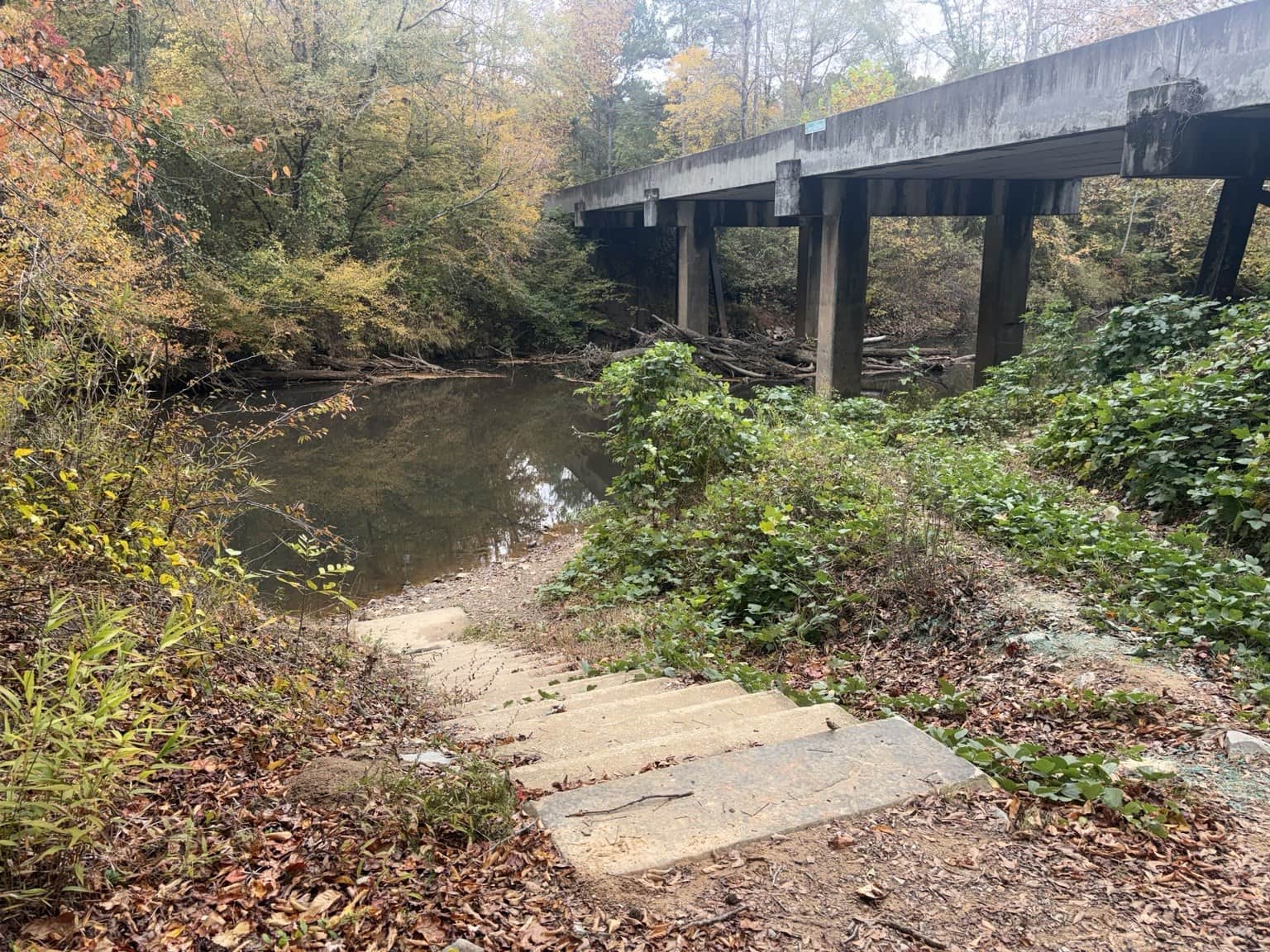
The final part of the carry. The full guide connects the roadside entrance, information board and landing.
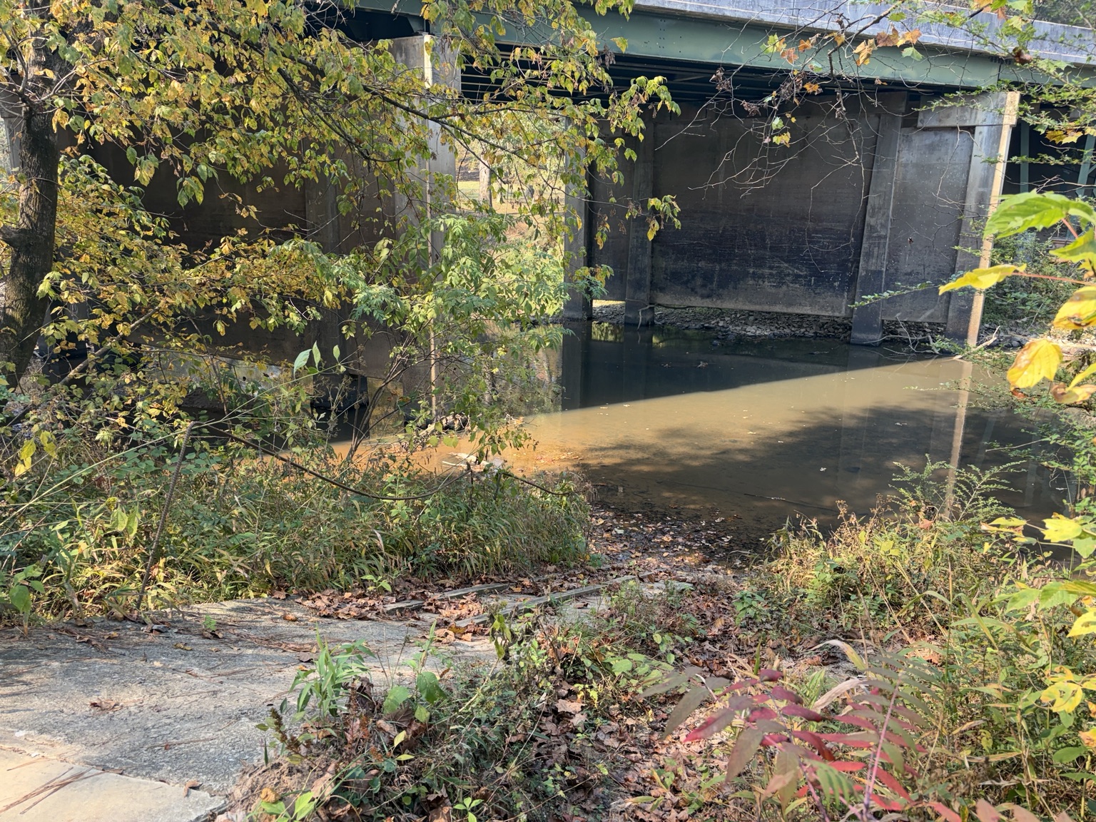
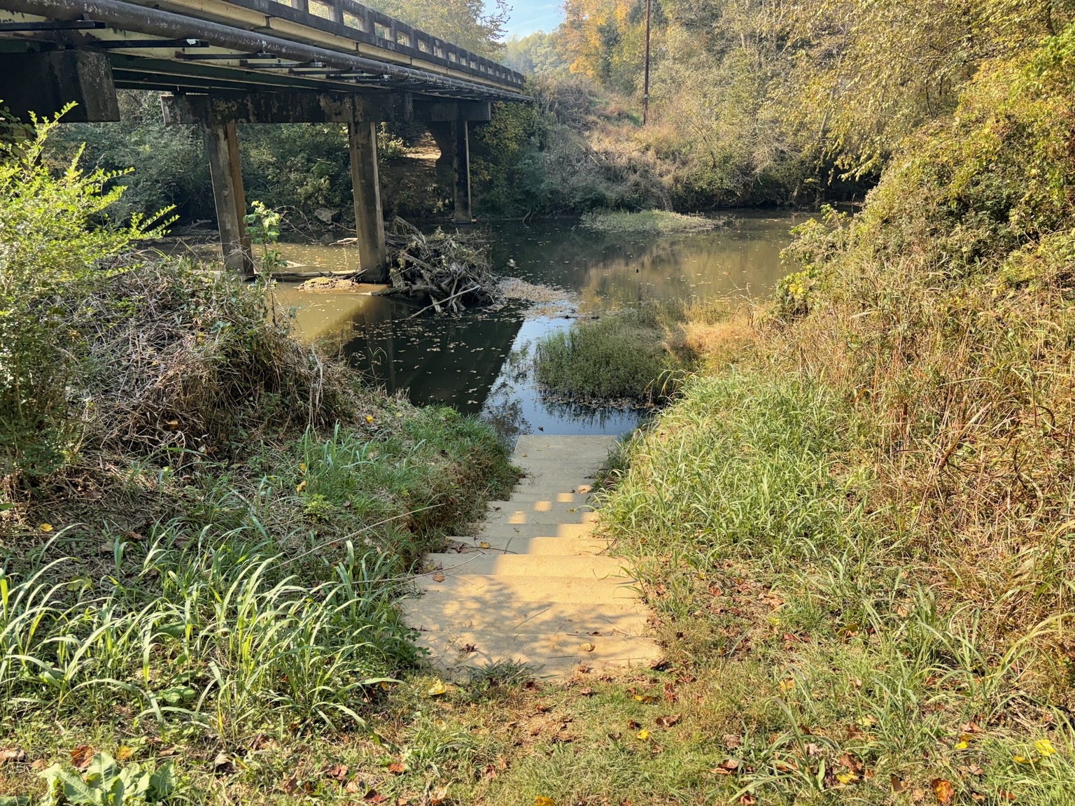
At Highway 100, stay outside the restricted water-treatment plant enclosure and respect no-parking signs. The full guide has the approach photographs, readable trail boards, directions and access notes.
See the complete arrival photo guide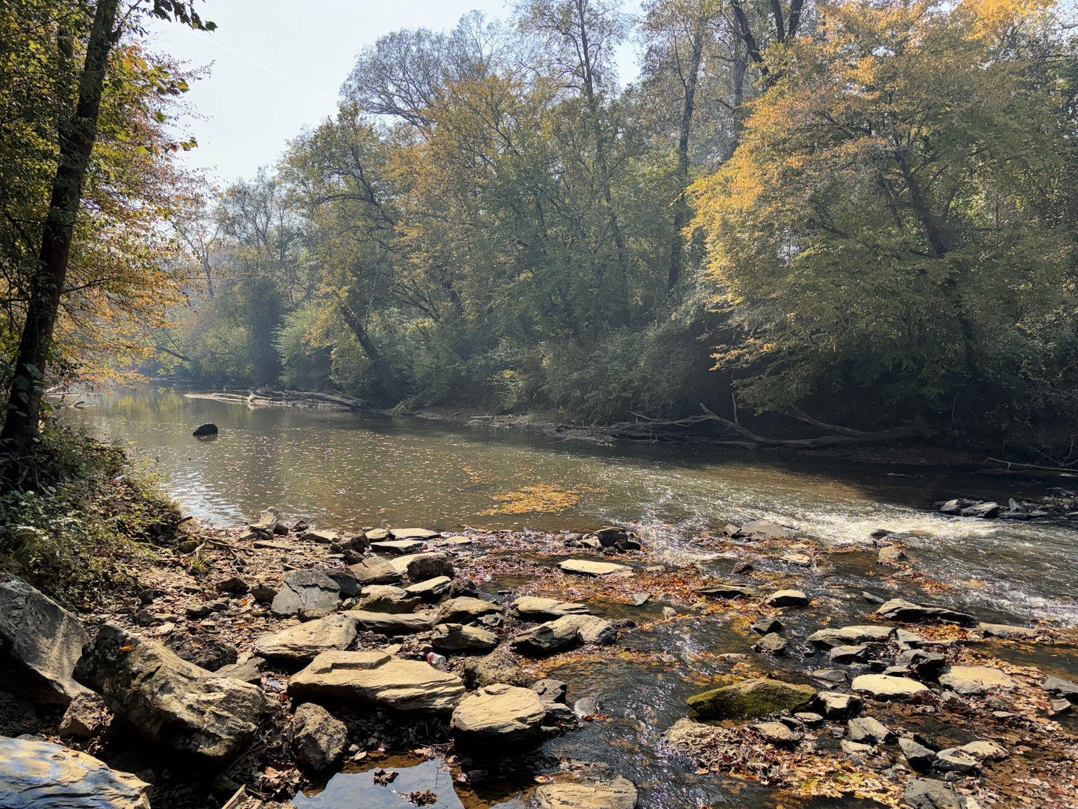
Look a little closer
A river with
a story to tell.
Rocky shallows. Leaves on the water. Trees reaching over the banks. These are the details our photographs bring home.
Our new photo journey follows the river from the two creeks where it begins to Wisener Bridge in Alabama, with old road supports, Tommy Spearman’s memory and the railroad take-out along the way.
Explore the Tallapoosa photo journeyMake room for a good day
Fit the plan
to your family.
You don’t need to figure out every detail on this page. Start with the people coming, then work through the route together.
- 01
Choose the people and the pace.
Consider the children, each paddler’s experience and the help your group needs. A Class I label alone does not establish suitability for your family.
- 02
Check the river and the way out.
Review current weather and river information, and confirm both landings. Plan for rocks, fallen wood and changing conditions; our photos are not today’s conditions report.
Check current river sources - 03
Get the boats, gear and ride sorted.
Properly fitting life jackets, close supervision of children, water and a dependable return plan belong in the day’s preparation. Confirm any equipment or pickup help before setting out.
Open the simple packing guide
Your family’s next adventure
Let’s talk about
your river day.
Have a date in mind? Tell Daniel who’s coming, your paddling experience and what you already have. If you’re short a kayak or need to work out the ride back, ask what might be possible.
A text starts a conversation. Equipment, help, availability, meeting places and any cost must be agreed before you rely on them. This is not a booked or guided float.
Send this to the people you’d like to take along.
About these photographs & the guide
Photos are from the Moss family collection and Daniel’s access visits. The Highway 100 and Broad Street originals were supplied October 30, 2026; tap those photographs to open the originals. The Poplar Springs photographs were supplied November 1, 2026; their enlargement links open web-sized copies. Earlier family photos are separate outings, not photographs of that day’s access visits.
The family’s old bridge is private property, not a public launch. These photographs establish only what was pictured. They do not verify the whole paddle, current conditions, parking arrangements, a clear channel or a usable portage. The existing guide keeps the source notes, upstream water-treatment-structure correction and unresolved access details together.
Read the photographs and access notes in context