FROM TWO CREEKS TO WISENER BRIDGE
Where the
Tallapoosa begins.
Leaves gather along a small point of land. Two wooded channels meet beneath the branches. This is where the river gets its name.

Daniel’s photograph of the Mud Creek–McClendon Creek confluence.
I followed the Tallapoosa by road and on foot, from its wooded beginning to crossings in Alabama. Along the way are old road remains, canoe landings and family memories.
FIND YOUR PLACE ON THE RIVER
Three landings, in pictures.
This map covers the canoe section from Poplar Springs to Broad Street. Choose a landing to see its photograph and arrival guide.
River line: Georgia River Network · North is up · A–C are photo keys, not official launch numbers.

Poplar Springs
The steps to the water, with the old truss nearby.
Read this part of the storyEntrance & landing photosThese are the three source-listed public landings; current conditions still need checking. The confluence, private bridge, Liner railroad take-out and Wisener Bridge are outside this map. Open the full float planner or see the railroad take-out photographs.
Two creeks, one river
Mud Creek and McClendon Creek meet here. The USGS describes their confluence as the beginning of the Tallapoosa River.
The photographs show a modest beginning: wooded banks, fallen branches and leaves resting against the sand. From this meeting, the water carries the Tallapoosa name downstream.
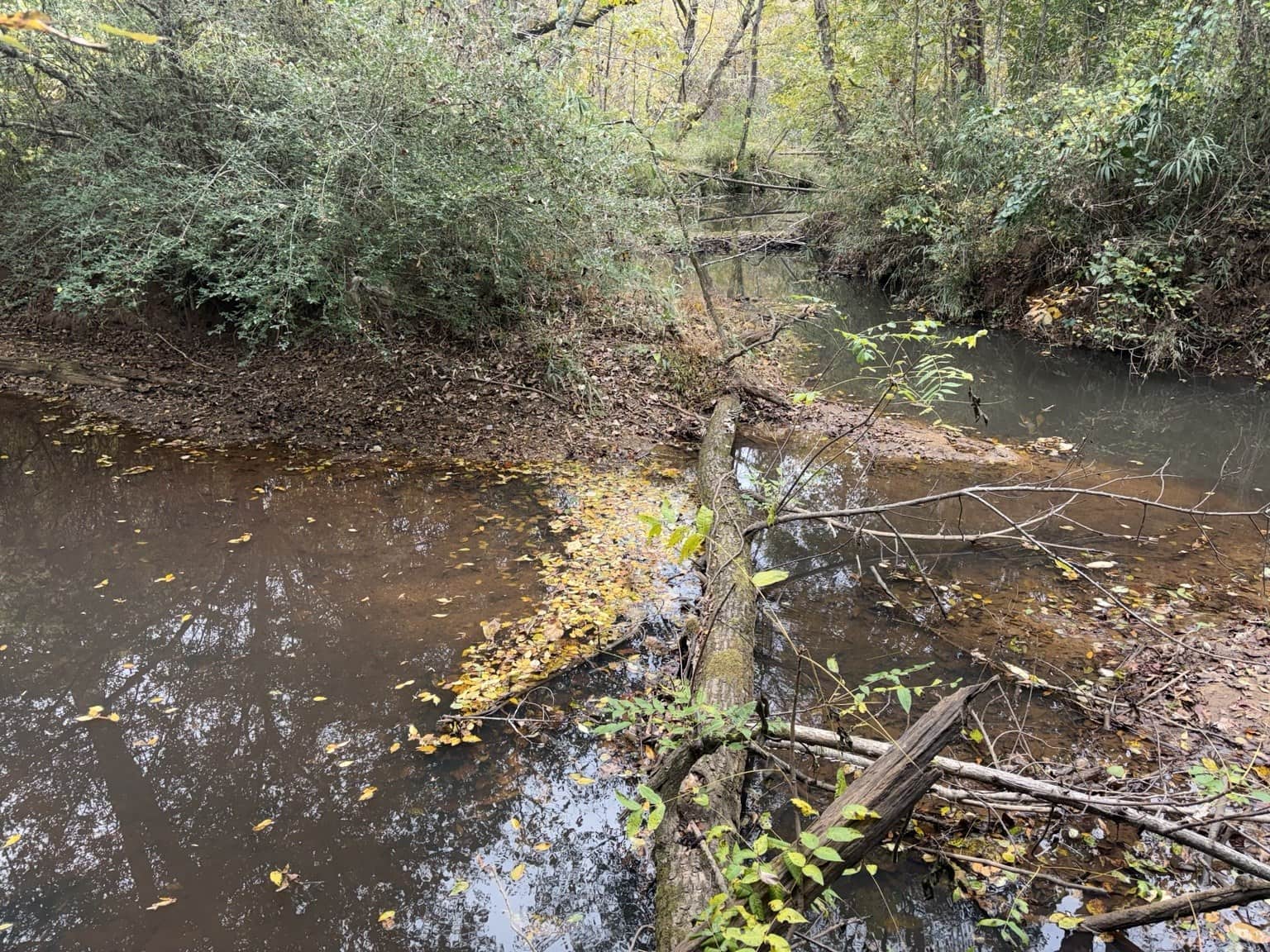
The creek names are established; these photographs do not label which branch is on the left or right.
Learning the river by its crossings
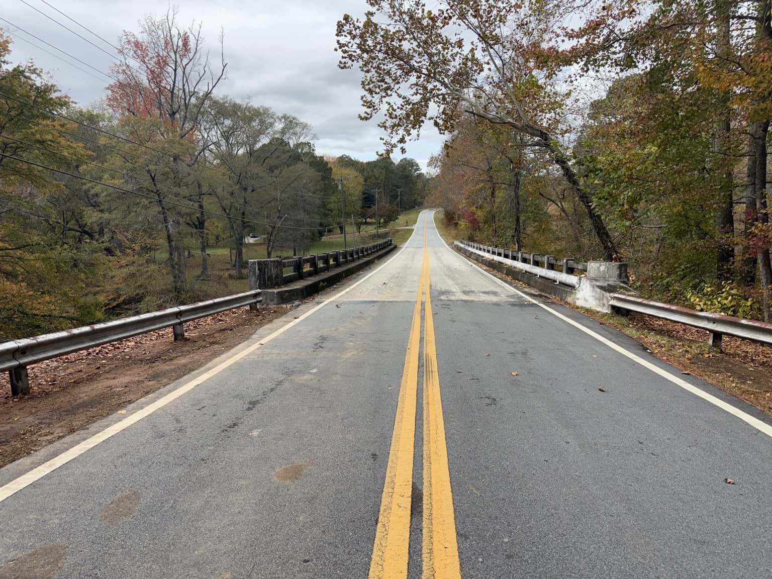
Allgood Church, Goldin, Coppermine, Rockmart, Mountain View and Mount Zion East: the road names give these upper stretches a familiar rhythm. Between the crossings, trees press close to the banks. Reflective pools give way to exposed bars and rocky shallows.
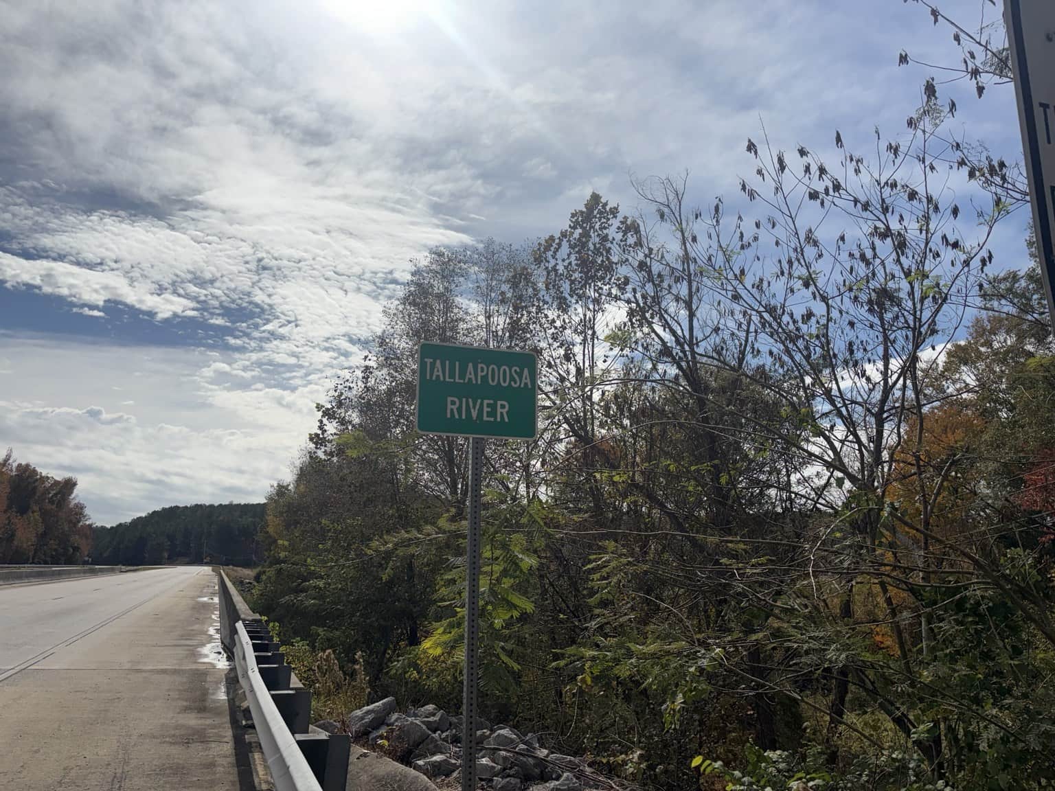
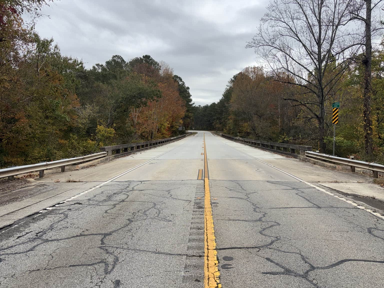
At Rockmart Road, 1962 is stamped in the concrete railing. At US 27, a green river sign gives passing drivers a name for the water below.
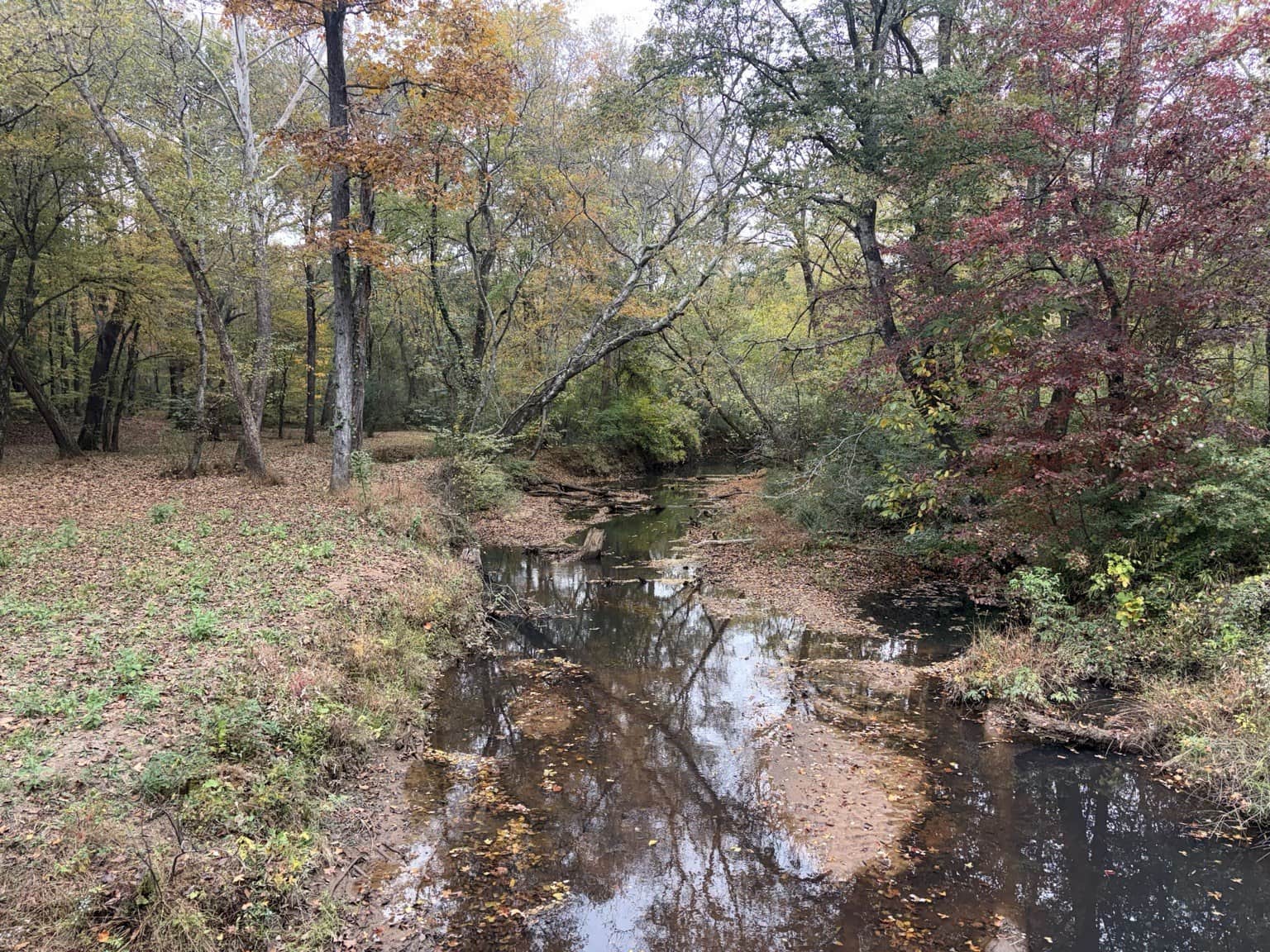


The visible rock feature is left undesignated; the photograph alone does not establish its origin.
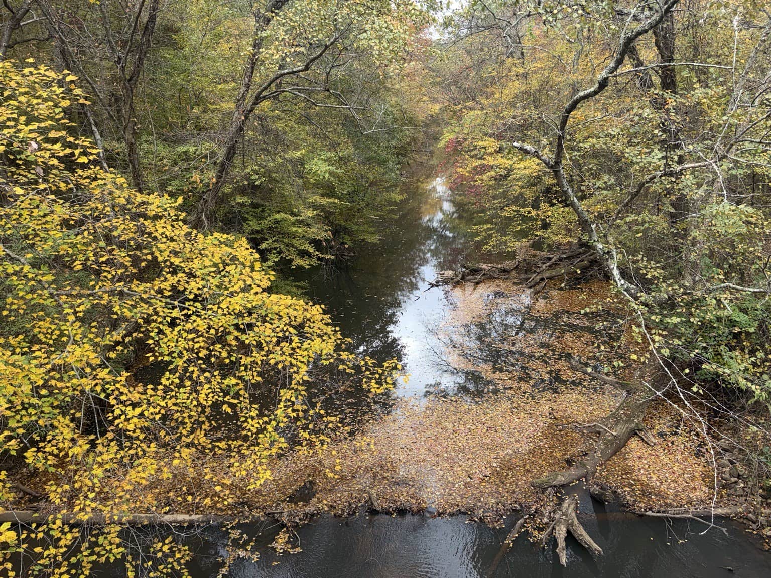


US 27, Sanders Road and the Rockmart inscription
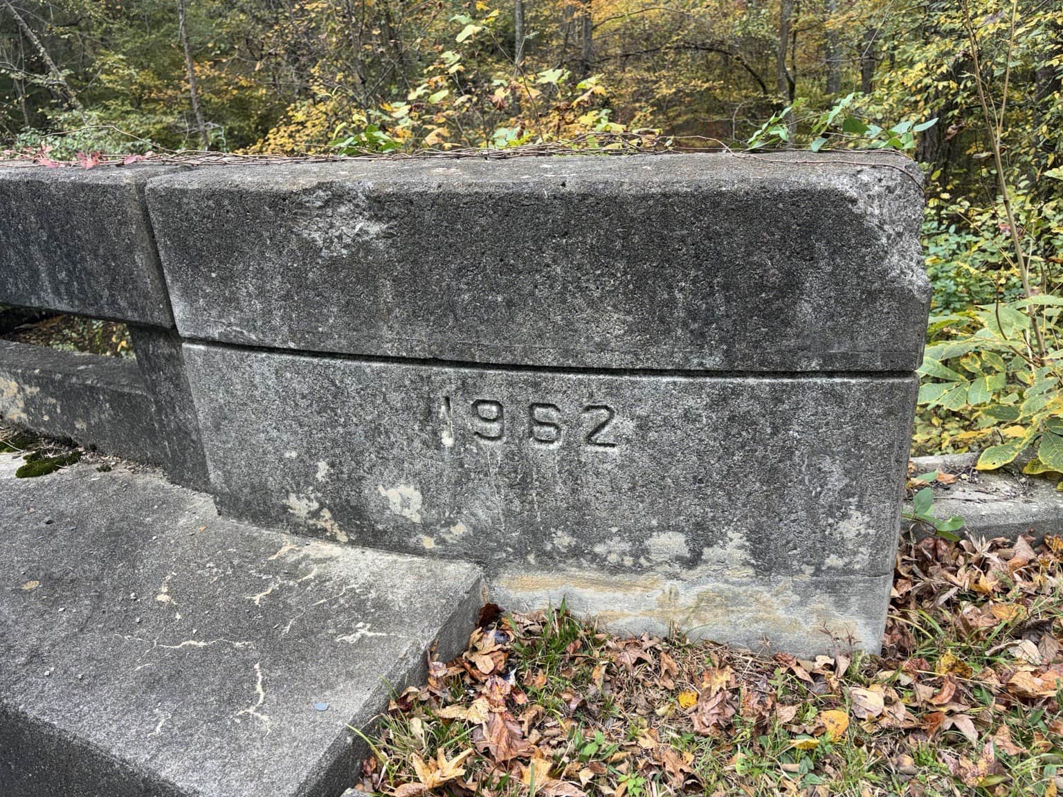
A photographed inscription, rather than a separately verified construction history.


A separate railroad crossing from the Liner Road location later in this story.
The old bridge our family knows
The Bethlehem Church Road crossing brings the journey to the old steel bridge connected with our family’s river land. Its narrow trusses belong to a different kind of crossing from the highway bridges farther along.
Our old-road story brings together family recollections, maps and dated imagery. This bridge is on private property and is separate from the public canoe launches and the old truss at Poplar Springs.
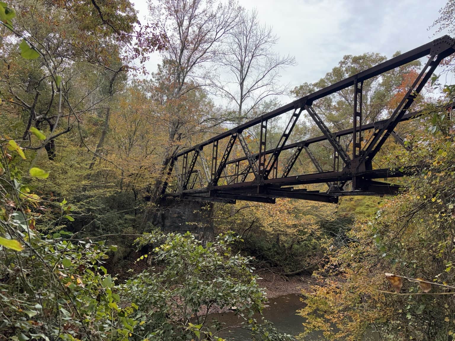
An old crossing with a continuing place in our family’s life on the river.
Monroe Mill Road: a place, and a person to remember
Substantial concrete remains stand downstream of the present Monroe Mill Road bridge. In one photograph, an old support stands close to the bank with the newer crossing beyond it.
Linda Spearman told me that her husband, Tommy, had said the old Monroe Mill Road ran there. That is Tommy’s recollection, passed along through Linda. The photographs preserve what remains, while its date and full history still need work.
When I was a child, we would float the river and my dad would pick us up at Tommy Spearman’s place. I remember Tommy as a very, very nice man. His kindness belongs in the story of this stretch of river, too.

The relationship between the remains and today’s bridge is visible in this view.

The former-road identification is oral history relayed by Linda from Tommy Spearman.
The present Monroe Mill Road crossing
Poplar Springs: the old span and the way to the water

A different bridge from the family crossing near Bethlehem Church Road.
The truss and its reflection make you stop and look. Close views also show the missing deck. The old structure can be appreciated without treating it as a way across the river.
Nearby, the canoe access has a more practical sequence: roadside entrance, unpaved approach, clearing, information board and concrete steps to the water. Those photographs now join Highway 100 and Broad Street in our arrival guide.
See the Poplar Springs arrival photos
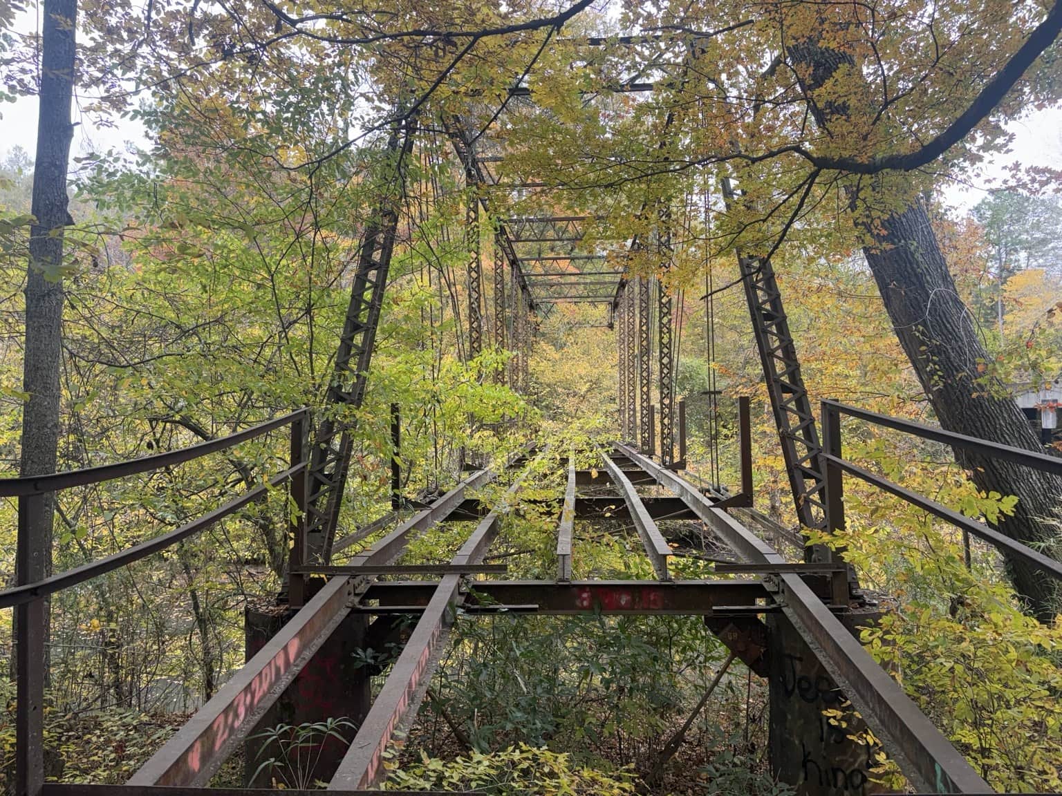
Missing decking is visible. This is not presented as a pedestrian crossing.
Jacksonville Road, Highway 100 and Steadman
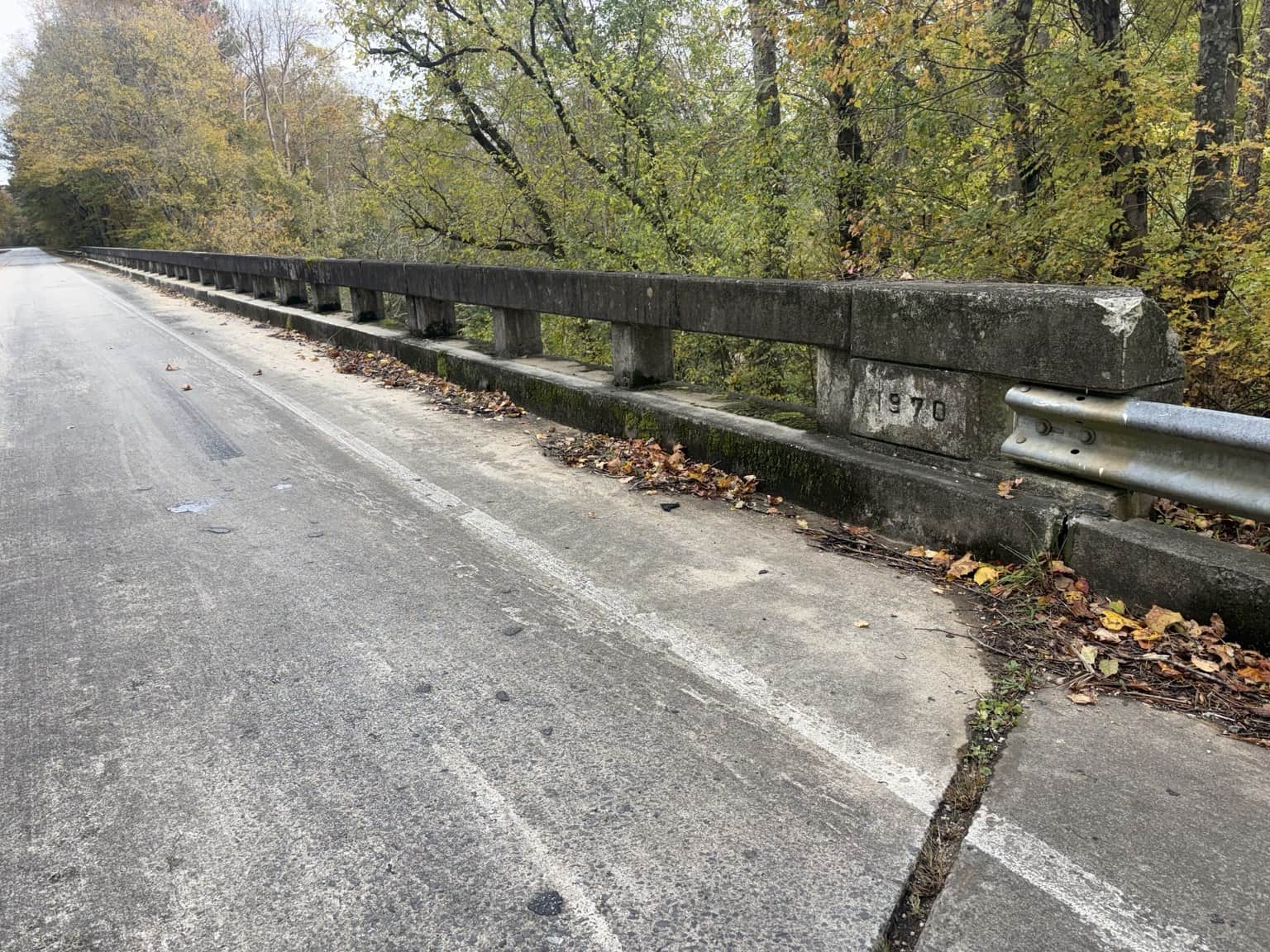
At Jacksonville Road, shallow water curves around exposed bars. The bridge railing carries a 1970 inscription. Highway 100 brings another landing into view, with the water-treatment structure upstream of it.
That direction matters for a float: the photographed structure belongs upstream of the Highway 100 landing. The access guide shows the public approach outside the plant enclosure and keeps the posted obstruction information in context.
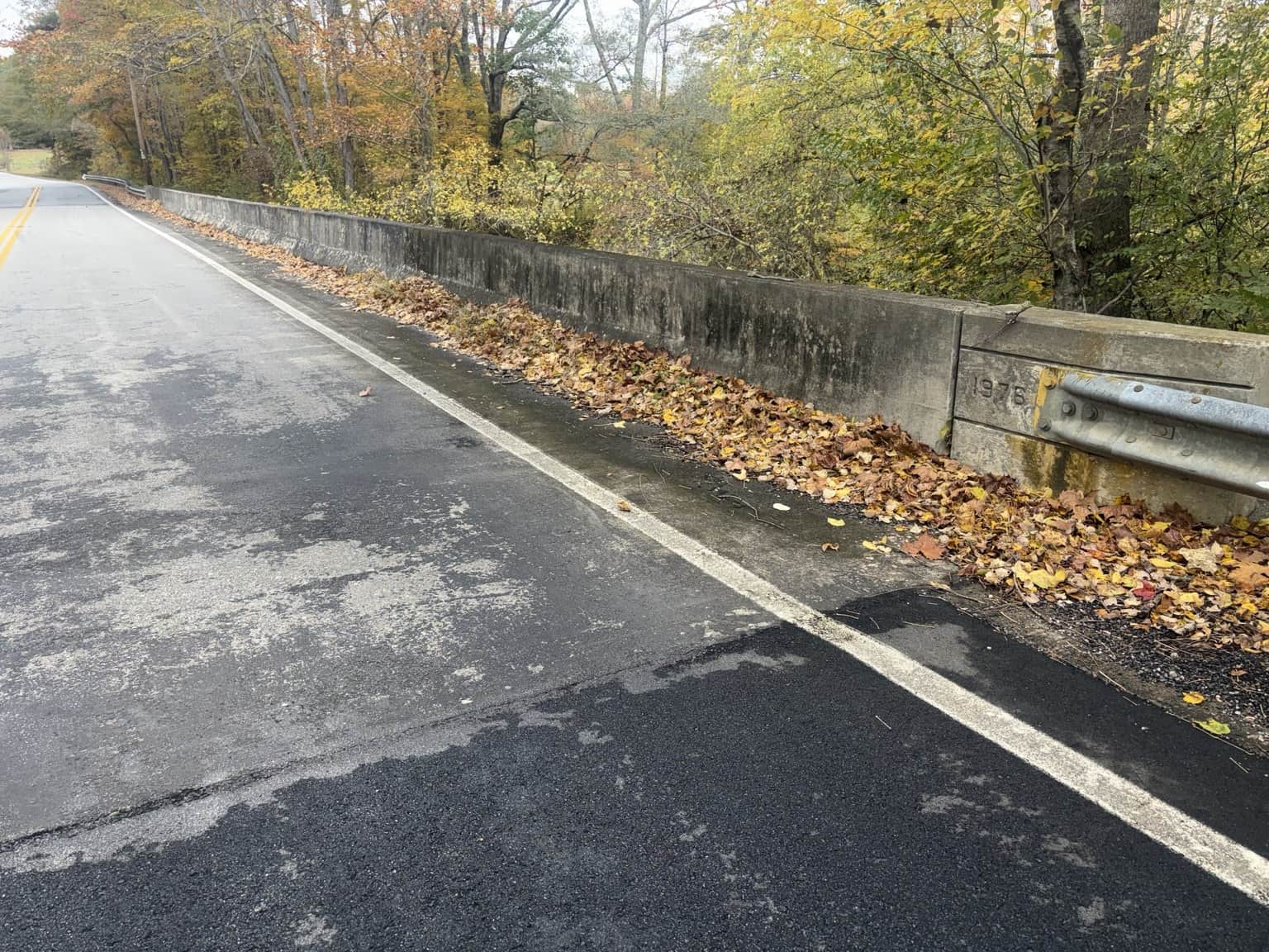
Farther along, Steadman Road adds a 1976 inscription and another wooded reach of the same river.
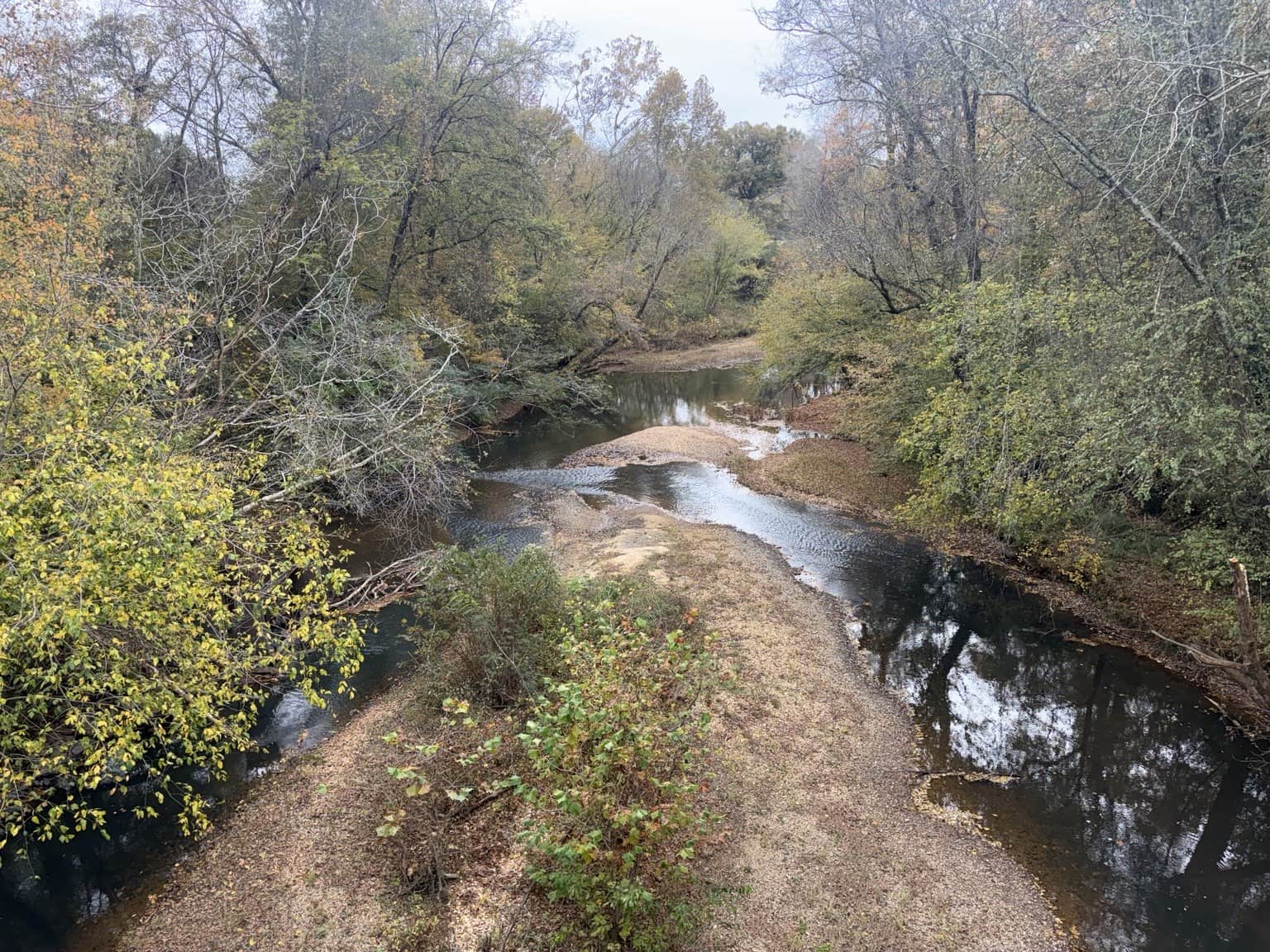


Daniel identifies this man-made feature as associated with the water-treatment plant, upstream of the access.

The approaches and bridge inscriptions


Broad Street: seeing the whole carry
One view brings the roadside area, path and concrete steps together. It shows the relationship between the road and the river in a way a close photograph of the landing cannot.
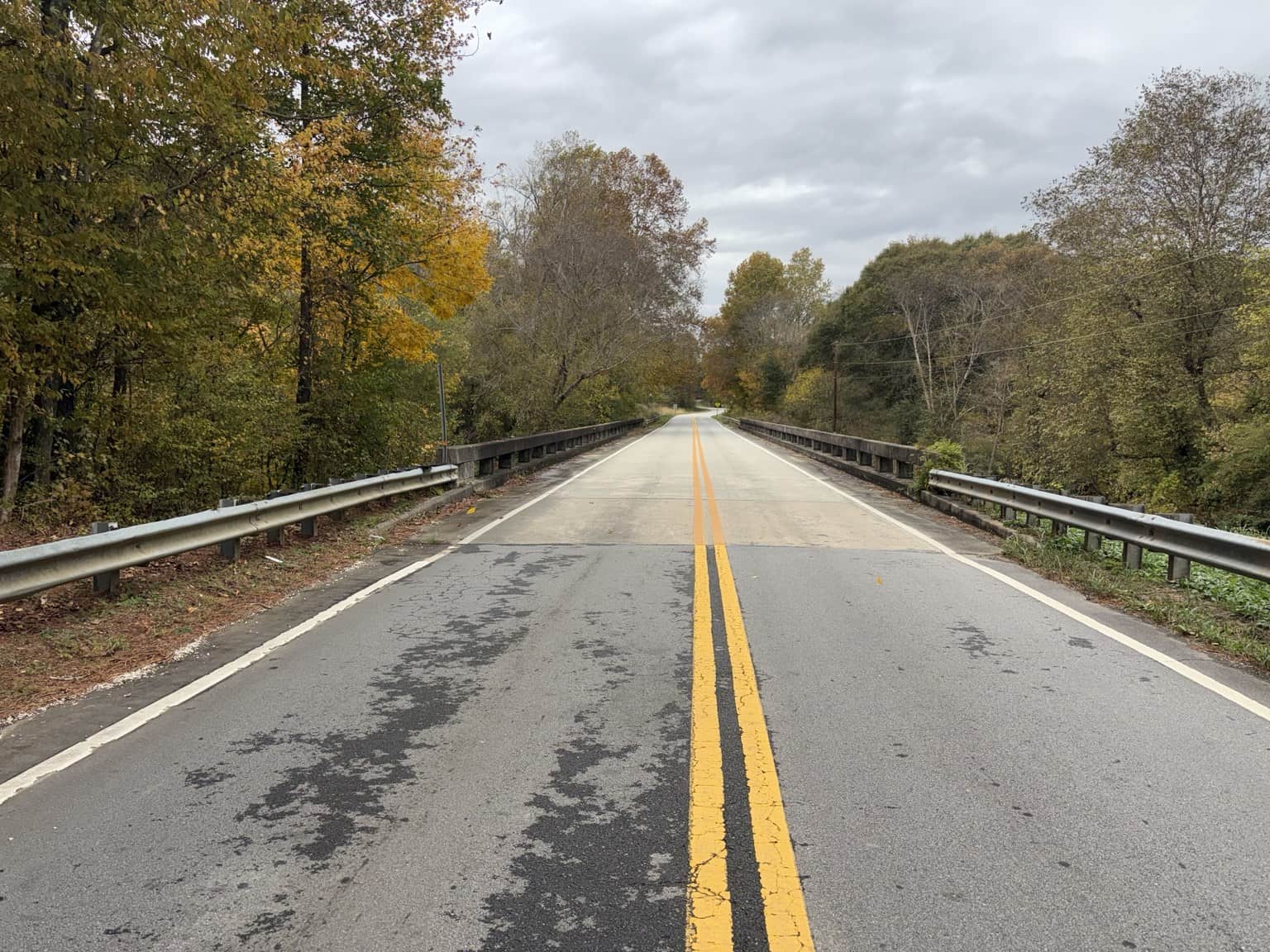
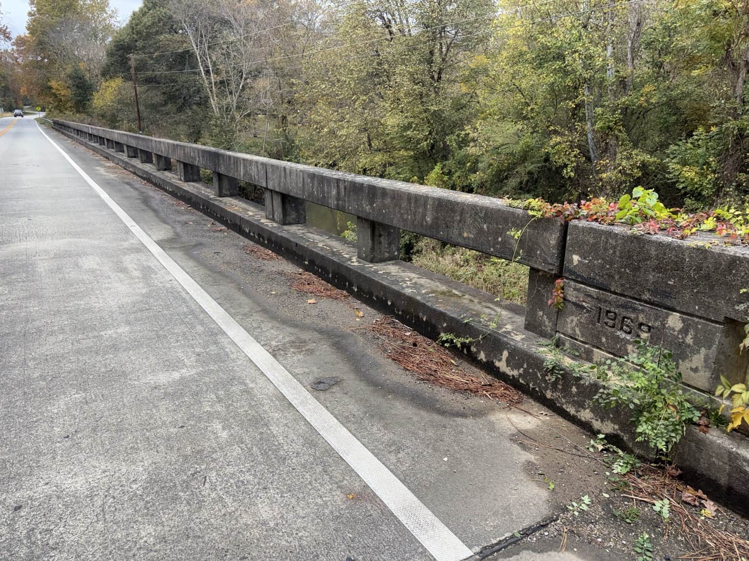
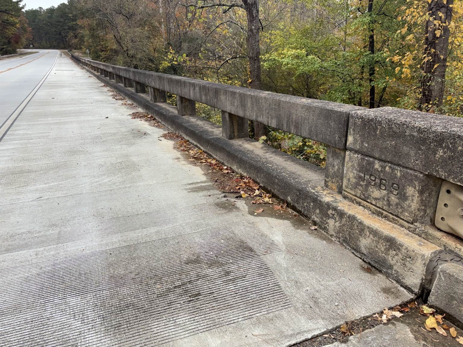
The railing carries a 1969 inscription. Below, quiet water gives way to a rocky shoal. The Broad Street arrival guide includes the earlier close views of the signs and steps.
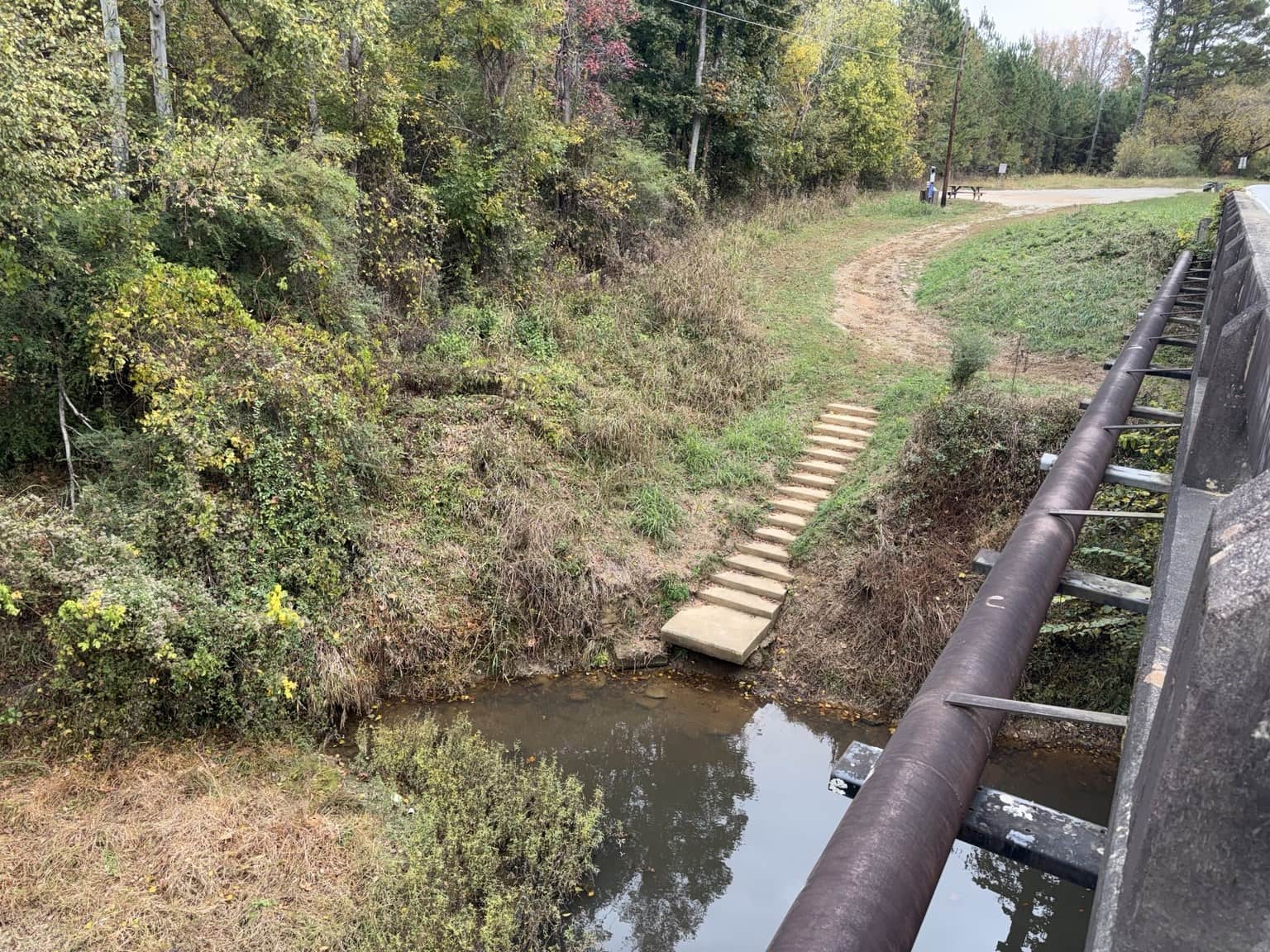
The whole carry, as it appeared during the photo visit.
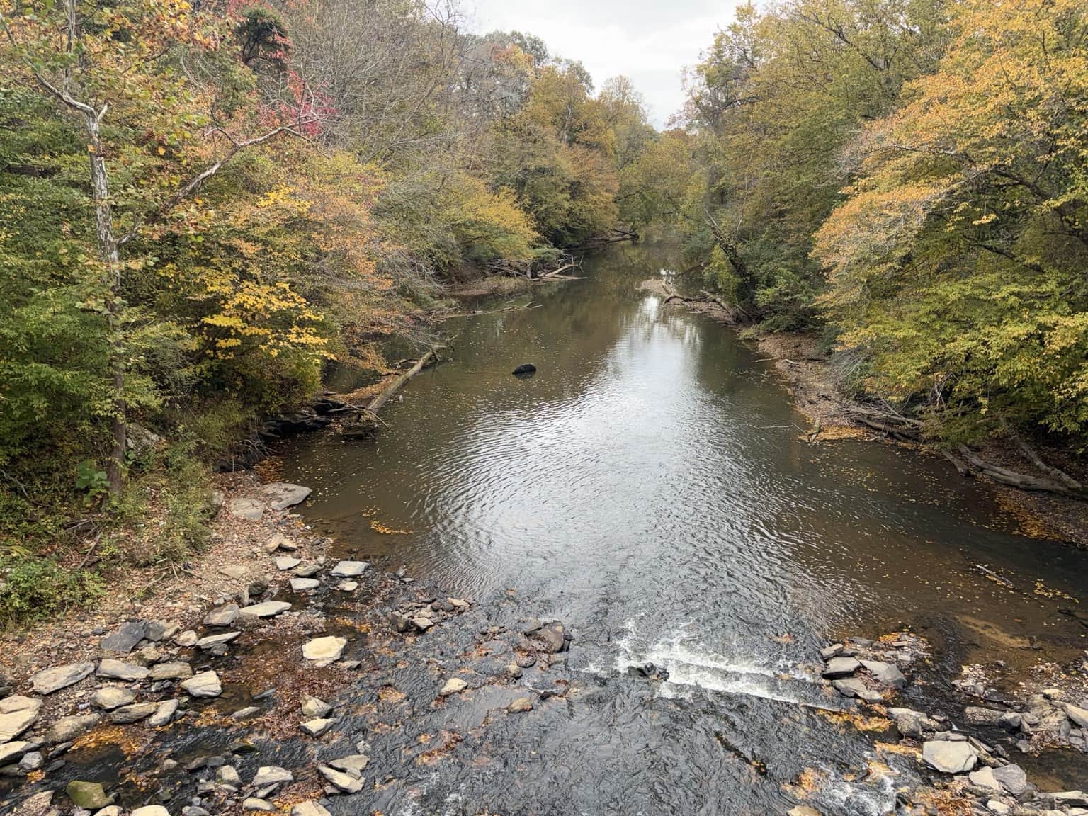
The Broad Street bridge and inscription
US 78, Liner Road and the railroad take-out
US 78 and the Liner Road road bridge are two more crossings along the journey. Just down the road from Liner, I also wanted to show the get-out place I know beside the railroad crossing.
The photographs connect three parts of that place: the roadside setting, a leaf-covered path and the rocky river edge beneath the railroad bridge.
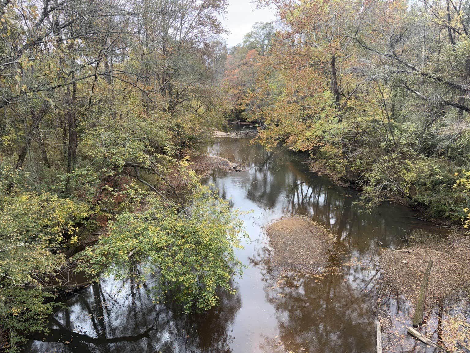

This road bridge is separate from the nearby railroad bridge.

The path is visible on the right. The photograph does not establish designated parking.

Exposed rock, gravel and leaves cover the descent.

The river edge at the get-out place Daniel identifies near Liner Road.

The US 78 approach and inscription
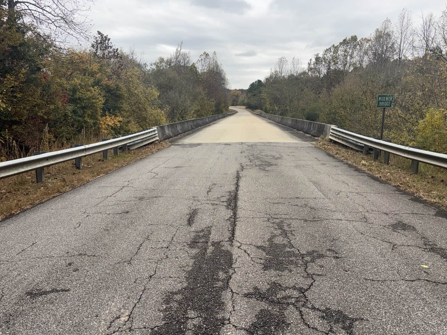
Wisener Bridge: where this journey pauses
The sign names the last crossing Wisener Bridge. A 1995 inscription appears in the concrete railing. Beyond it, the Tallapoosa continues between wooded banks.
This is where my photo journey into Alabama pauses. There is more river ahead—and a mill I still hope to return and photograph.

The 1995 inscription and another river view


KEEP EXPLORING
Take a little of the story with you.
Remember a crossing before it changed, or have a photograph of a mill? Share a river memory or photo with Daniel.
Send it to someone who knows this river—or would like to.
Photograph notes, sources & open questions
Photographs and place identifications supplied by Daniel Moss on November 1, 2026. The submission date is not a verified capture date for every image. Views record the conditions pictured, not current river conditions. Photographs can be enlarged; web copies have been resized without altering their content.
The route is a collection of visits by road and on foot, not a surveyed continuous paddle. A photographed crossing does not establish public parking or river access. Bridge years are transcribed as visible inscriptions. Upstream and downstream are used only where Daniel established the direction.
- USGS, Low-flow profiles of the Tallapoosa River and tributaries in Georgia (1988): Mud Creek and McClendon Creek form the named river.
- Greater Haralson Chamber, Paddle the Poosa: the named public-launch sequence; consulted November 1, 2026.
- Georgia River Network, January 31, 2013 trail report, reprinting Amy K. Lavender: five proposed locations, including the Liner Road railroad trestle. Historical proposal only.
- Monroe Mill Road: Daniel’s childhood memory of Tommy Spearman; old-road identification relayed by Linda Spearman from Tommy. The supports’ dates and a connection to mill foundations remain unestablished.
Next additions: the mill when photographed, firmer records for the old road supports, and operator or owner confirmation for the railroad take-out. The separate canoe guide retains its published-address conflicts and full-route review limits.